Areas › West Sussex ›
East Lavington
East Lavington is a countryside walk near Duncton, West Sussex. We rate it Great for off-lead dog walking (82 out of 100): plenty of ground well away from roads, 16 miles of paths, water to swim in and car park.
| Off the lead? | In parts of it |
|---|---|
| Where | Countryside walk near Duncton, West Sussex |
| Size | About 720 acres (291 ha) |
| Water for a swim | There's a pond. |
| Parking | There are several car parks on or near it. |
| Livestock | At some times of year |
| Ground | It can be muddy in places after rain (the ground is mostly chalk, which drains well but can be slippery when wet). |
| Shade | 42% woodland |
| Suggested loop | 2.7 miles, about 85 minutes |
What it's like
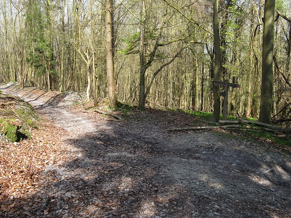
A huge countryside walk of about 720 acres, with 16 miles of paths. There's a pond. It can be muddy in places after rain (the ground is mostly chalk, which drains well but can be slippery when wet). It's a mix of woodland and open ground. A public road runs through it, so take care near the road. There are several car parks on or near it.
Dogs
The landowner or council says dogs can be off the lead in parts of the site, but leads are needed in some areas. Signs on site show where.
You're responsible for your dog. Before you let it off the lead, read the signs at the entrance, look out for livestock and roads, and make sure it will come back when called.
Watch out for
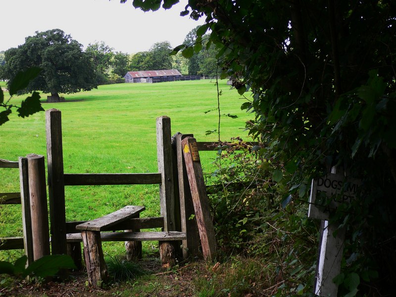
- Cattle or sheep graze here at some times of year. Put your dog on a lead near them.
Parking
- Car park · Directions
- Car park · Directions
- Car park · 16 spaces · Directions
- Car park · Directions
Suggested loop
A 2.7-mile loop from the car park with about 190 m of climbing , about 85 minutes at a dog's pace, almost all of it inside the site. About 440 m of it is on lanes or drives that cars use.
Shown dashed on the map above. Drawn by computer from OpenStreetMap paths. We haven't walked it: paths can be missing, private, closed or overgrown.
Questions
Can dogs go off the lead at East Lavington?
The landowner or council says dogs can be off the lead in parts of the site, but leads are needed in some areas. Signs on site show where.
Is there parking at East Lavington?
There are several car parks on or near it.
Can dogs swim at East Lavington?
There's a pond.
Are there cows or sheep at East Lavington?
At some times of year cattle or sheep graze here. Put your dog on a lead near them.
Is East Lavington muddy?
It can be muddy in places after rain (the ground is mostly chalk, which drains well but can be slippery when wet).
How long is a walk at East Lavington?
Our suggested loop is about 2.7 miles (4.3 km) from the car park and takes about 85 minutes at a dog's pace, with about 190 m of climbing.
Where this comes from
Matched to National Trust Lavington Common. Dogs welcome; keep to main tracks for ground-nesting birds. South Downs walk advises leads around livestock and horses. Circular walk about 5-6 miles. No toilets.
Researched online in November 2026. Nobody from Find Dog Walks has checked this place in person. Mud and shade are estimated from geology and woodland maps.
Something wrong? Open it on the map and use "Report a problem with this page", or email [email protected].