Thundry Meadows
Thundry Meadows is a nature reserve near Elstead, Surrey. It scores 40 out of 100 for off-lead dog walking (Not for off-lead).
| Off the lead? | No: dogs aren't allowed |
|---|---|
| Where | Nature reserve near Elstead, Surrey |
| Size | About 39 acres (16 ha) |
| Water for a swim | There's no water for a swim. |
| Parking | There are 2 car parks on or near it. |
| Livestock | Yes, grazing here |
| Ground | It's usually firm underfoot: the ground is mostly sandy soil that drains quickly. |
| Shade | 60% woodland |
What it's like
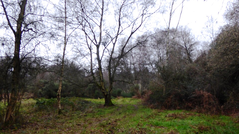
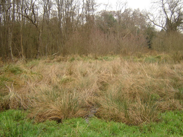
A good-sized nature reserve of about 39 acres. There's no water for a swim. It's usually firm underfoot: the ground is mostly sandy soil that drains quickly. Most of it is woodland, so there's plenty of shade. It's well away from main roads. There are 2 car parks on or near it.
Dogs
Dogs aren't allowed here.
You're responsible for your dog. Before you let it off the lead, read the signs at the entrance, look out for livestock and roads, and make sure it will come back when called.
Watch out for
- Livestock graze here. Put your dog on a lead near them.
- Dogs not permitted on the reserve, so no dog swimming
Parking
- Car park · free · 158 m from the edge · Directions
- Elstead Common car park · 254 m from the edge · Directions
Questions
Can dogs go off the lead at Thundry Meadows?
Dogs aren't allowed here.
Is there parking at Thundry Meadows?
There are 2 car parks on or near it. Parking: free.
Can dogs swim at Thundry Meadows?
There's no water for a swim.
Are there cows or sheep at Thundry Meadows?
Yes. Livestock graze here, so put your dog on a lead near them.
Is Thundry Meadows muddy?
It's usually firm underfoot: the ground is mostly sandy soil that drains quickly.
Where this comes from
Surrey Wildlife Trust reserve on the River Wey at Elstead. Only guide and assistance dogs are listed as permitted. Belted Galloway cattle graze it; no season given. Open at all times.
Researched online in November 2026. Nobody from Find Dog Walks has checked this place in person. Mud and shade are estimated from geology and woodland maps.
Something wrong? Open it on the map and use "Report a problem with this page", or email [email protected].